Regiono žemėlapis
This is a map of EnterGauja region. This map can serve as a virtual guide for travelling in EnterGauja. The travel destinations on the map are grouped by the same categories as in the website.
In order to make detailed selection, use the navigation on the left side and choose the category and subcategory. Take a note that for exact category, only the respective tourism objects or events will be shown on the map.
On the right side of the map, there is a navigation ROUTES. Use it plan your own route to/from any objects in the map. When you have selected your route, save it in your trip planner or download in PDF. When selecting your route, you can choose whether you are going to walk, bike or boat the road! Good luck with using this tool that has no boundaries!
Lankytinos vietos
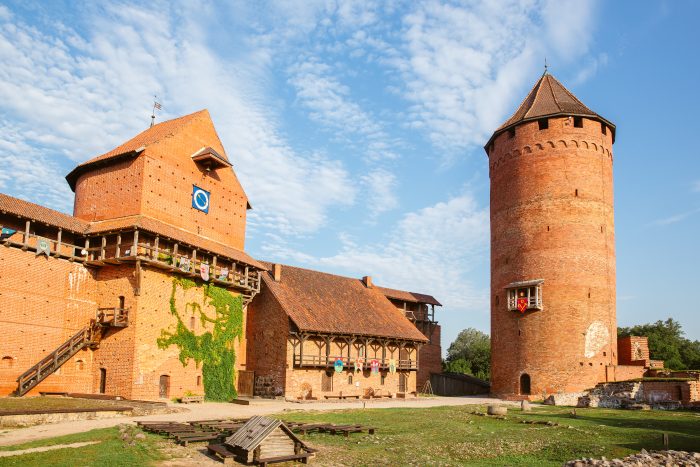 Turaida Museum Reserve
The Museum Reserve is a vast territory, rich in art and history gems – the Turaida Castle, the wooden church and many other buildings, as well as the sculpture garden.
Skaityti daugiau »
Daugiau lankytinų vietų »
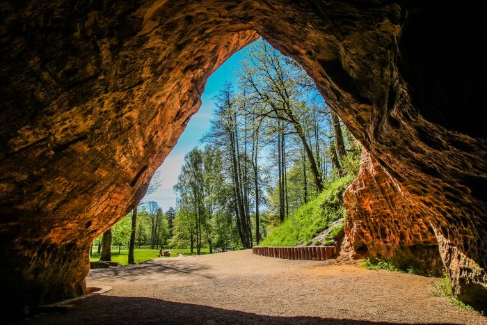 Gutman's Cave
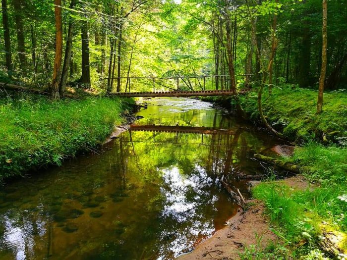 Cecilu nature trail in Ieriki - small circle
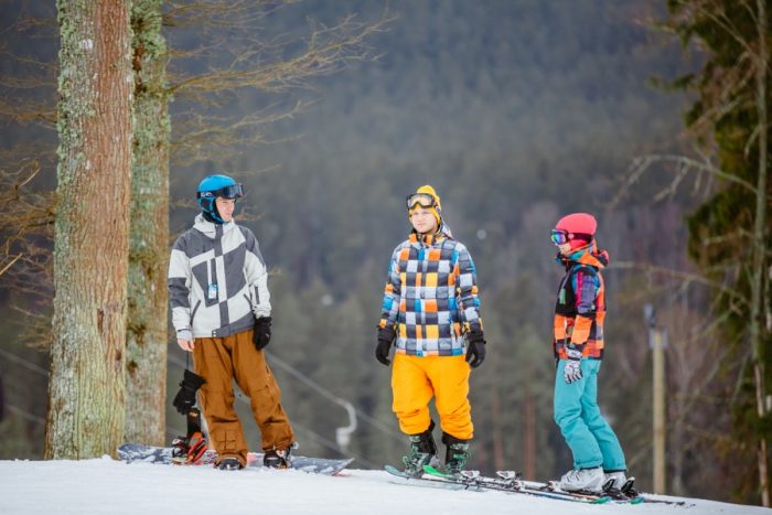 Ski resort "Ozolkalns"

 Latviski
 Русский
 English
 Deutsch
 Lietuvių
 Eesti
Eesti